Pedestrian New York: another part of the streets will be closed for vehicles during quarantine
'14.05.2020'
Vita Popova
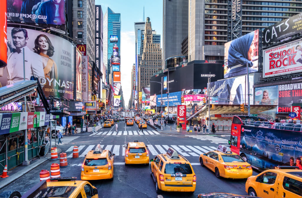
Nearly 15 km of roads were previously closed for cars in New York City to provide more space for pedestrians to walk in social distance mode. Now - another 20 km, and this is only the beginning. This decision will allow citizens to maintain social distance during a pandemic. This was reported by the publication. New York Post.

New York will transform more than 19 kilometers (12 miles) of highways into pedestrian and bicycle streets. This was announced on Wednesday, May 13, by the mayor of the city, Bill de Blasio. “We want to make it easier for people to maintain social distance, especially with the onset of warmer weather, and open streets help us with that,” said de Blasio.
Starting from Thursday, May 14, New Yorkers will be able to go for a walk on one of the above streets:
- 46th Street in Queens from Queens Boulevard to Greenpoint Avenue
- Skillman Avenue in Queens from 39th Place to 43rd Street
- 39th Avenue in Queens from Woodside Avenue to Barnett Avenue
- 34th Avenue in Queens from 78th Street to Junction Boulevard
- 5th Street in Long Island City from 46th Avenue to 49th Avenue
- 27th Street in Long Island City from Hunter Street to Queens Plaza South
- Roosevelt Avenue in Flushing from 155th Street to Northern Boulevard
- Peck Avenue in Flushing from 137th Street to Main Street
- 4th Street in Brooklyn from 4th Avenue to 5th Avenue
- Newkirk Avenue in Brooklyn from Coney Island Avenue to E. 17th Street
- Grattan Street in Brooklyn from Morgan Avenue to Bogart Street
- Prospect Place in Brooklyn from New York Avenue to Brooklyn Avenue
- 6th Avenue in Brooklyn from 44th Street to 51st Street
- 1st Place, 2nd Place, 3rd Place and 4th Place in Brooklyn from Smith Street to Henry Street
- Berry Street in Brooklyn from N. 12th Street to Broadway
- Joralemon Street in Brooklyn from Hicks Street to Furman Street
- Marks Place in Brooklyn from 3rd Avenue to 4th Avenue
- 7th Street in Brooklyn from Caton Avenue to Ditmas Avenue
- Hall Street in Brooklyn from Park Avenue to Myrtle Avenue
- Portland Avenue in Brooklyn from S. Elliot Street to Dekalb Avenue
- Nassau Street in Brooklyn from Banker Street to Lorimer Street
- Suydam Street in Brooklyn from Knickerbocker Avenue to Irving Avenue
- Sharon Street in Brooklyn from Morgan Avenue to Olive Street
- Leonard Street in Brooklyn from Montrose Avenue to Boerum Street
- Cadman Plaza East in Brooklyn from Johnson Street to Tillary Street
- 38th Street in Brooklyn from Dahill Road to 15th Avenue
- Congrerssion Street in Brooklyn from Clinton Street to Henry Street
- 115th in Manhattan from Park Avenue to 3rd Avenue
- 13th Street and Little W. 12th Street in Manhattan from 9th Avenue to Washington Street
- 17th Street in Manhattan from 10th Avenue to 8th Avenue
- Hudson Boulevard East and Hudson Boulevard West in Manhattan from 35th Street to 36th Street
- West End Avenue in Manhattan from 87th Street to 96th Street
- 75th Street in Manhattan from Broadway to Riverside Driver
- 114th Street in Manhattan from Manhattan Avenue to Frederick Douglass Boulevard
- Edgecombe Avenue in Manhattan from St. Nicholas Place to 145th Street
- 238th Street in The Bronx from Tibbett Avenue to Irwin Avenue
- 140th Street in The Bronx from Brook Avenue to Willis Avenue
- Rhinelander Avenue in The Bronx from Williamsbridge Road to Bronxdale Avenue
- Creston Avenue in The Bronx from Fordham Road to Kingsbridge Road
- Oak Tree Place in The Bronx from Hughes Avenue to Quarry Place
- Boston Road in the Bronx from 180th Street to Bronx Park South
- Bronx Park South in The Bronx from Boston Road to Bryant Avenue
- Jackson Avenue in The Bronx from 143rd Street to 147th Street
- Clay Avenue in The Bronx from 173rd Street to Claremont Parkway
- Bank Street in Staten Island east of Jersey Street
Recall that the city has already opened for pedestrians almost 15 km (9 miles) of the roadway.
The plans are to make 160 km (100 miles) of roads accessible for walkers and bike riders.
Bill De Blasio presented a plan to open parts of the street after weeks of pressure from lawyers and elected officials who were excited about the dangerous crowds in the parks during the coronavirus pandemic.
On the subject: Part of the streets of New York will be closed for cars in connection with quarantine: list
For several days in late March and early April, the city had already tried to introduce such changes, but this did not work: it required the presence of a large number of police officers, so they refused the plan.
According to the new plan, not only policemen, but also representatives of local public groups will patrol in the open streets.
The mayor also announced the imminent completion of the construction of sheltered bicycle lanes on Flatbush Avenue, Fourth Avenue and Ashland Place in Brooklyn, Crescent Street in Queens, and Broadway, 38th and 39th Streets in Manhattan. They will become an alternative to potentially crowded subway trains.
The city could equip even more bike lanes this year, but is limited by the city charter - the latter requires 90 days notice of any such projects, said Transport Department Commissioner Polly Trottenberg.